Our Blog
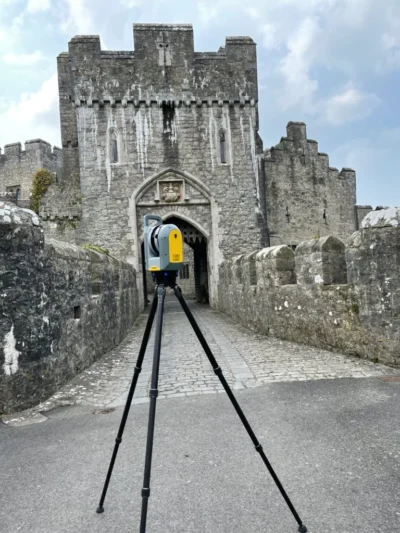
Why Measured Surveys Are Essential For Heritage Building Conservation
In this article, I explain why a measured survey is the crucial first step in building conservation projects.
Read More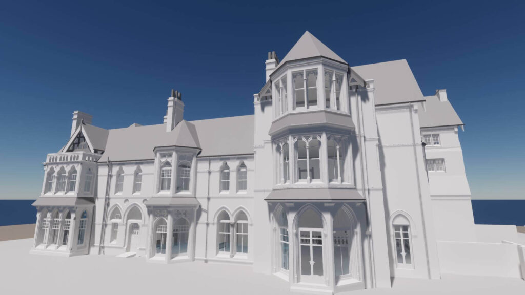
What is a Measured Survey? Your Complete Guide
Join me for this deep dive into the specifics of your measured building survey service, where I cover everything from basics to case studies.
Read More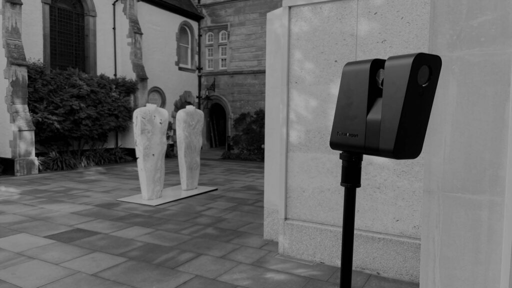
The Matterport Tour: Essential to Your Measured Building Survey
I explain how combining a measured building survey with a Matterport tour enables architects to fully comprehend a structure.
Read More
Measured Building Surveys: 2D vs 3D
In this article, I discuss how 2D and 3D measured building surveys differ. By the end, you should have an understanding of their applications.
Read MoreRe-cladding Tower Blocks: Why Elevation Surveys Are Essential
As tower blocks across the country prepare to shed their outdated cladding, I reflect on the importance of elevation surveys to this important effort.
Read More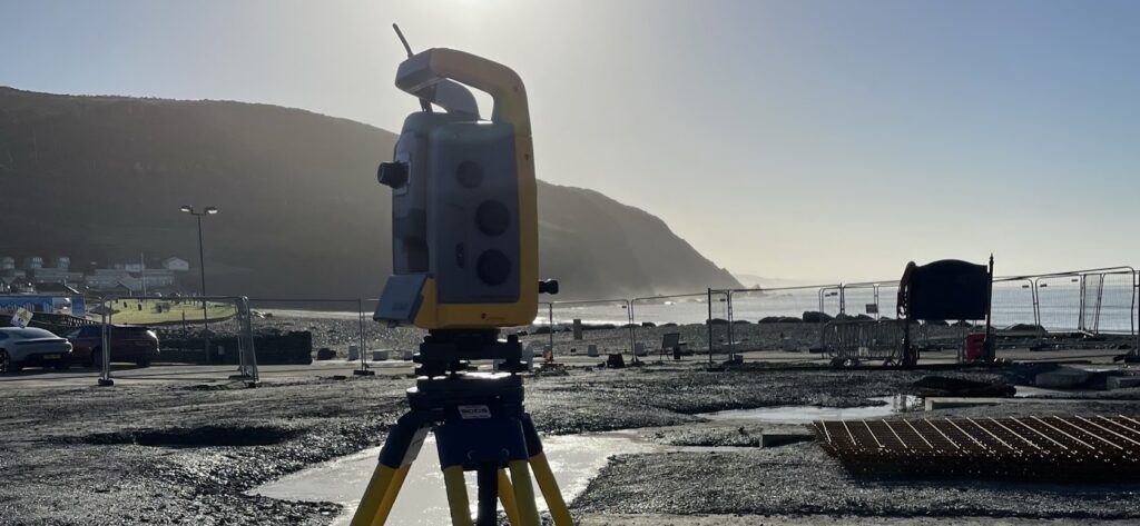
Topographical Survey Equipment
This blog post explores how our surveyors use different methods, equipment, and technology to capture data for topographical surveys.
Read More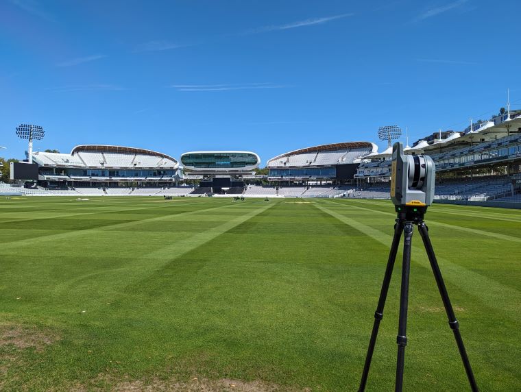
What is a Topographical Survey? A Complete Guide
In this blog post, we delve deep into the specifics of topographical surveys, journeying from purpose, to price, to product.
Read More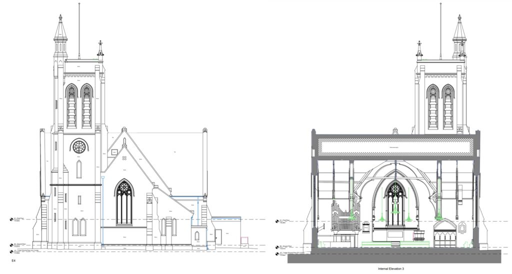
A Quick Guide To CAD Measured Building Survey Drawings
If you need a CAD Measured Survey this guide is essential reading to help understand which drawings you need & what will be shown on them.
Read More
Combining Ground Penetrating Radar and Radio Detection for Comprehensive Underground Utility Surveys
An Underground Utilities Survey is essential for a construction project. We explain why you need GPR and Radio Detection for a full picture.
Read More