What Does a Topographical Survey Provide?
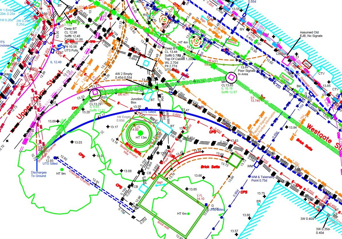
Topographic surveys are highly detailed, centimetre-accurate map of your site. It includes topographic features such as buildings, manhole covers, service covers, drainage points, lampposts, telephone poles, individual trees, steps, walls, and fences, along with descriptions of topography, surfaces, levels, and heights. Moreover, it often encapsulates additional information like surrounding buildings and the location of underground surveys. With GNSS /GPS, we correlate your topographical land survey along with its site levels and coordinates to the Ordnance Survey National Grid.
We provide your drone surveys and topographical survey in the Midlands in a digital format of your choice, including 2D CAD, 3D CAD, PDF, or Revit.
Precision and Detail: Expert Topographic Land Surveyors
The success of your site project relies heavily on a precise and reliable topological survey. At Bury Associates , we specialise in providing highly detailed survey solutions such as land and topographical surveys, displaying features, levels, and contours with exceptional clarity and accuracy.
Before you commence design work or plan alterations to your site, it's crucial to understand what's already in place: the site's boundaries, the relation between different levels, and the existing elements on your site. Our topographical GPS surveys ensure you have site coordinates based on Ordnance Survey datum and grid.
3D Mapping for a Clearer Site Perspective
We use state-of-the-art technology, including laser scanners, GPS, and drones, to measure your site in 3D, resulting in measured surveys that offers comprehensive data to plan a successful project on any area of land. Our approach ensures every detail of your site is measured accurately in 3D, providing a reliable foundation for your design work.
Bury Associates is your partner in all you topographical survey needs around the Midlands, ensuring precision and reliability.
FAQs
Related Services

Drone Topographical Surveys
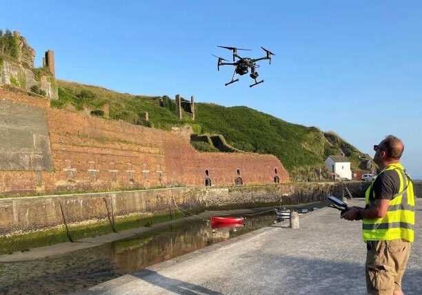
For larger areas Bury Associates' skilled topographical surveyors carry out drone aerial mapping surveys that are accurately controlled on the ground by survey-grade GPS/GNSS. These surveys are supplemented by terrestrial surveys and laser scanning to guarantee accuracy and full cover.

Underground Service Tracing
Bury Associates underground services tracing team use radio detection equipment and ground penetrating radar to scan your site for underground services. Delivered as a 2D or 3D CAD overlay as part of a topographical survey
