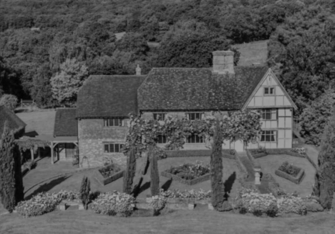
Project - Grade II Listed Farmhouse
Measured Building Survey & Topographical Survey

Project Overview
This farm is a Grade ll listed farmhouse, set in 162 acres of land in rural East Sussex. Parts of this timber-framed property date back to the 16th century and much of it has been renovated, whilst maintaining its character and retaining some of the period features.
The task Bury Associates undertook was to produce a 3D photogrammetric model, drone survey data and 2D CAD drawings of the buildings and gardens.
Solution
- Drone photogrammetry
- Terrestrial photogrammetry
- Laser scanning
- Topographical survey
- GPS survey control
Client Feedback
"We find the 360 panoramic tour and the 3D ContextCapture reality model a real game changer in measured survey data. In particular, projects that are further afield from our offices, provide us with all the information we could wish for at the end of our fingertips”
Rupert Ford - Holden Harper
Project Deliverables
- ContextCapture 3D Photogrammetric Model - delivered as a web-based model viewable through any standard web browser. Part of the online model can be viewed by following this link :
ContextCapture model - 2D CAD topographical and measured building survey drawings.
