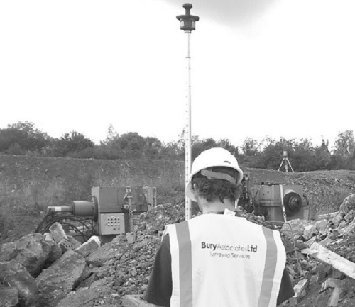
Setting Out
When it comes to construction and renovation projects, the importance of meticulous setting out cannot be overstated. At the core of our services lies the setting out of boundaries, internal walls, complex structures, and steelwork. We employ a bespoke approach to meet all your project's unique requirements, from site control networks to the establishment of grid lines. This process is crucial in translating design plans into physical markers on site, a fundamental step as advised in various industry guides.
Beyond traditional setting out, we also extend our services to align internal walls and steelwork to either local or Ordnance Survey coordinates. The level of precision we provide is due to our commitment to utilising state-of-the-art technology. We use the latest tools and methodologies that conform to Building Information Modelling (BIM) specifications. This ensures that every dimension and every detail is not only accurate but also seamlessly integrates with your project's overall data ecosystem.
Our primary aim is to offer comprehensive solutions that remove any guesswork, providing consistently precise and reliable results. We take immense pride in our ability to adapt to any scale or complexity, ensuring that your project, be it historical conservation or modern construction, is built on a foundation of accuracy and quality.
Setting Out FAQs
We understand the importance of precision, accuracy, and reliability in construction and structural integrity. Our team leverages cutting-edge technology to ensure the swift detection, thorough analysis, and effective action upon any instance of movement or deformation.
Our monitoring surveys utilise advanced total stations to monitor fixed targets. This technology is capable of detecting any shift in 3 dimensions with millimetre accuracy. This precision guarantees early detection of even the smallest deviations, safeguarding the structural integrity of your construction project.
Subsidence monitoring forms a critical part of our service. By systematically observing ground movements over time, we can identify and respond to any subsidence before it poses a significant risk to your structures.
We usually carry out surveys to monitor for movement in cases of subsidence in conjunction with a Structural Engineer. If you are a building owner with a subsidence issue put your Structural Engineers in touch with us and we will work with them so create a monitoring solution that will work best for your situation

Topographical Surveys
A topographical survey is a centimetre-accurate, highly detailed map of your site showing all features and levels. Features shown will include such things as buildings, manhole covers, service covers, drainage, lampposts, telephone poles, individual trees, steps, walls and fences, along with surface descriptions, levels and heights.

Underground Service Tracing
Bury Associates underground services tracing team use radio detection equipment and ground penetrating radar to scan your site for underground services. This is delivered as a 2D or 3D CAD overlay as part of a topographical survey
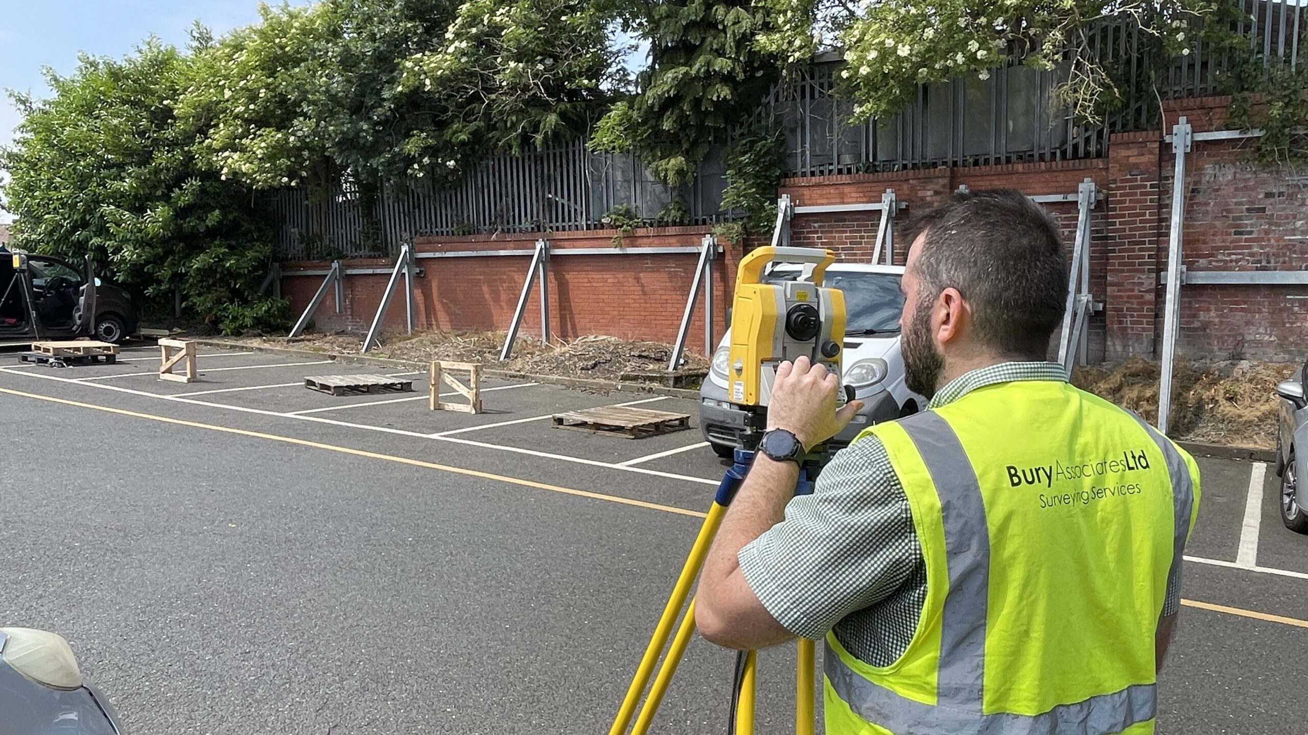
Surveying Services
Accurate floor plans, elevations and sections of commercial property and public buildings