Project - Bromley Council Civic Centre
Measured Building Survey, Topographical Survey & Underground Services Trace

Project Overview
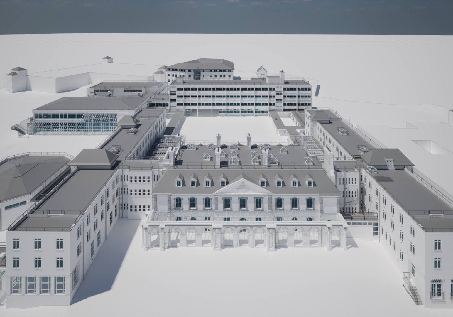
Bromley Civic Centre has been formulated around the original Bromley Palace, which was acquired in 1960 by Kent County Council. It became a Grade II listed building in 1973 and became the borough headquarters in 1982. The Old Palace is a heritage site and was used as council.
Bury Associates were commissioned to conduct a measured building survey, topographical survey and an underground service trace , of several buildings at the Civic Centre, including the heritage site of Bromley Palace.
Solution
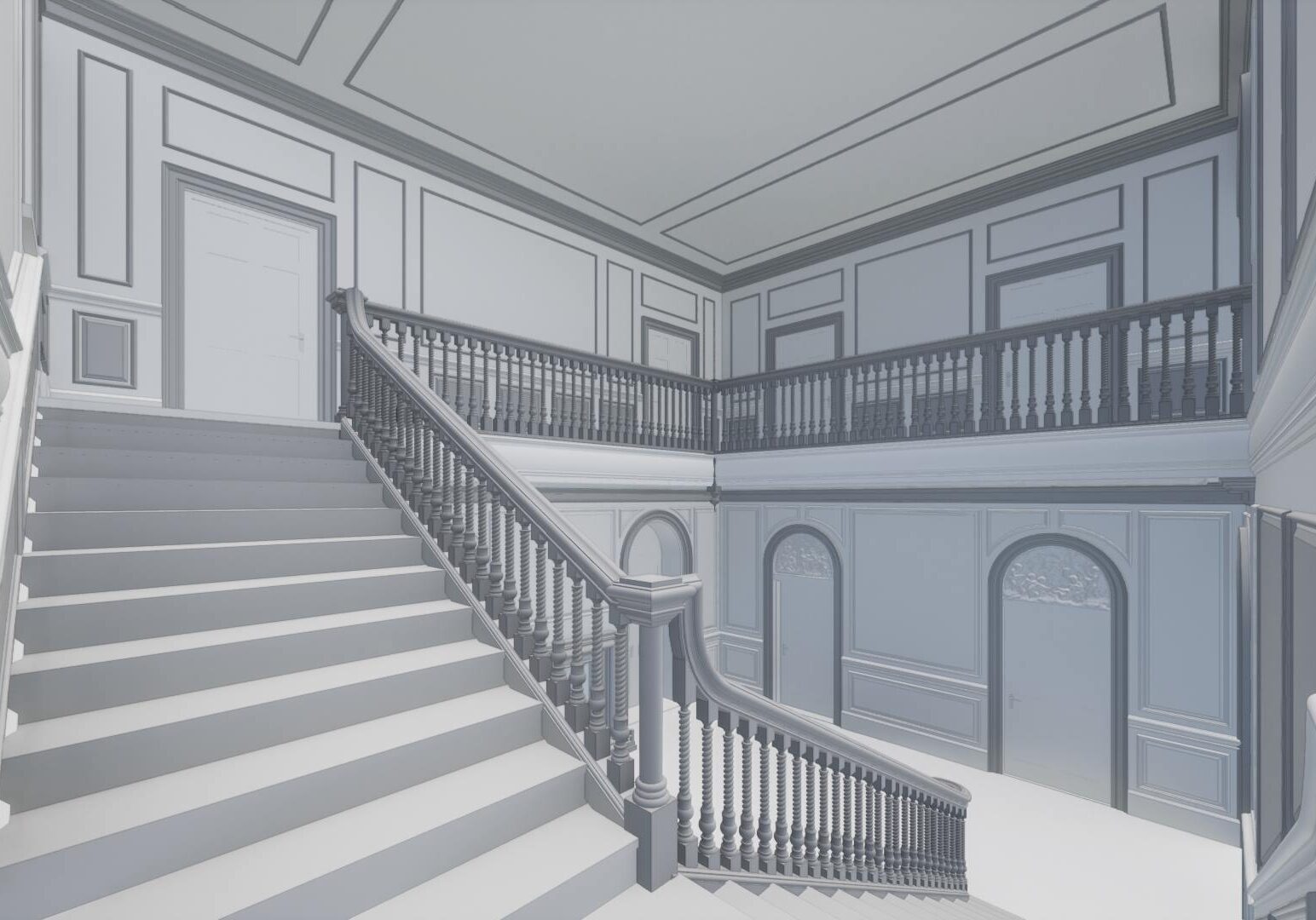
Utilising advanced technologies such as drone photogrammetry, laser scanning, and GPS survey control, we successfully generated a precise Revit model and accompanying CAD drawings. This integration of cutting-edge tools allowed for the creation of detailed and accurate representations, ensuring the highest level of precision and reliability in our deliverables.

Project Deliverables
- 2D CAD Drawings
- 3D Revit Model
