Worcestershire Roof Inspections By Drone
Roof inspections, topographical & building surveys, drone surveys of inaccessible structures
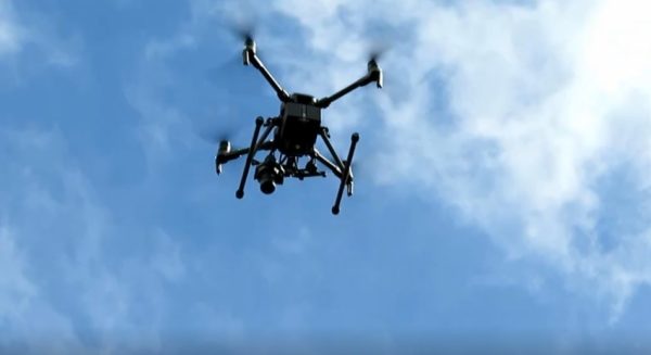
CAA licensed operators in Worcestershire providing accurate Drone Surveys & Inspections
When you need critical information that is difficult to obtain our CAA licensed drone team will fly your project and give you a full understanding of its condition, without the cost of hiring expensive plant or having scaffolding erected.
We produce accurate, reliable aerial information – Reality Meshes, Point Clouds, Revit Models, CAD Drawings – all to precise survey coordinates.
When you need a survey of a large or inaccessible area, we can help. Our drone team can map large areas quickly to create accurate digital surveys.
Drone Roof Inspections & Surveys
Roofs are the most important but least accessible part of most buildings. If you’re replacing, repairing or adding structures such as solar panels to a roof you will need a full understanding of your work area. Our drone inspections and surveys will give you accuracy and confidence.
How do I get a Drone Inspection or Survey?
- Email a site plan or Google Earth image marked up to show the project you need flying, along with a written description of everything required to [email protected]
- We'll provide you with a fixed price quotation and estimated timescales to complete and deliver the survey.
- Provide us with a written acceptance of our quotation via email. We only have a very limited number of survey dates available, to avoid disappointment send over your acceptance within 5 days of receiving our quotation.
- Our drone team will come out, fly your project, fully photograph it then return to our office to process the data and create your report or survey.
- Once the site work is complete you will be invoiced for the survey
As soon as your payment has been received we will send you your report or survey.