GPS Surveys: A Comprehensive Guide
Introduction to GPS Surveying
GPS Surveys are transforming the landscape of land and measured building surveying. If you're looking for an accurate, efficient and cost-effective land survey GPS solution, you've come to the right GPS survey company.
What is a GPS Survey?
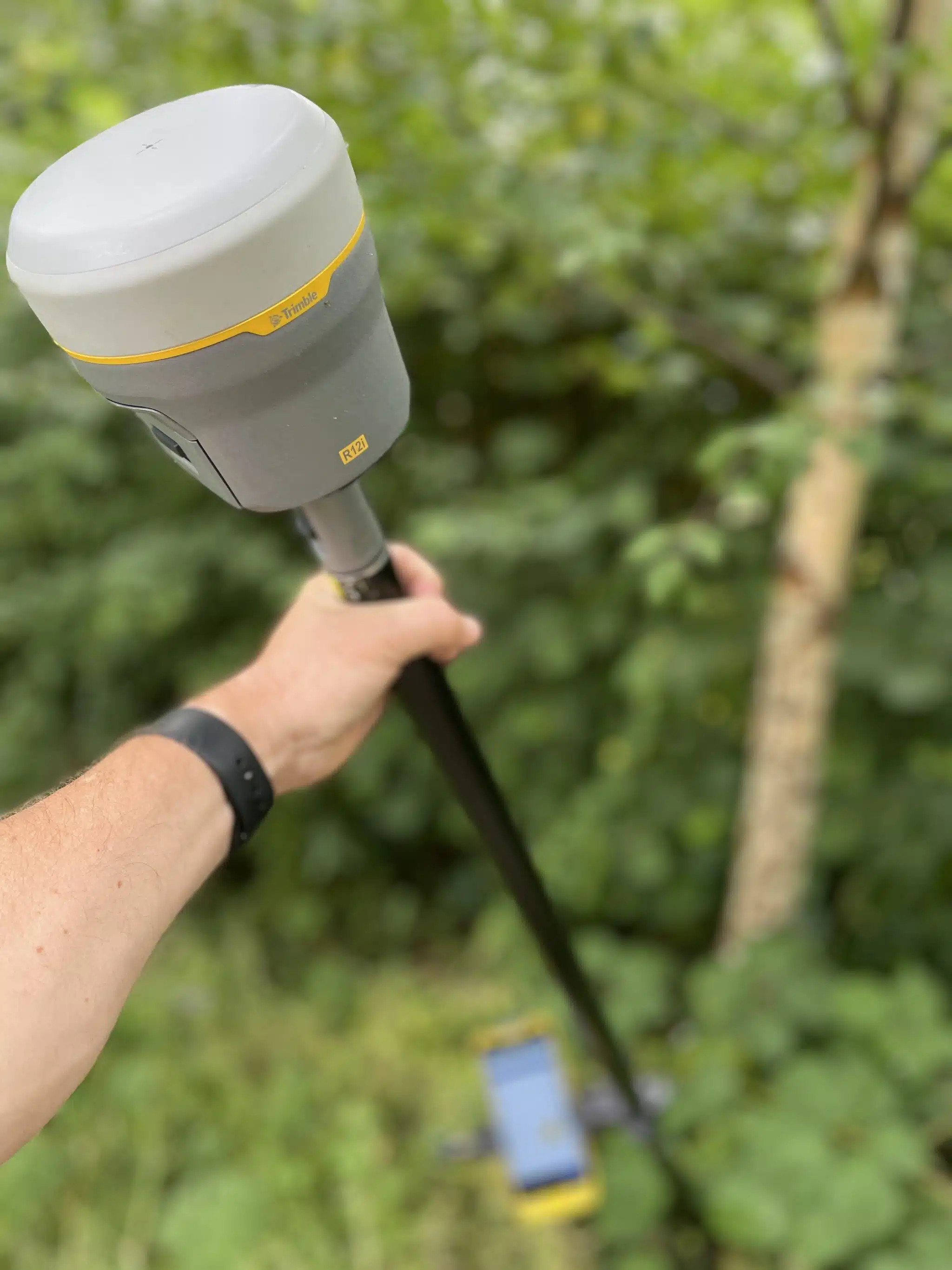
GPS Surveying involves using Global Positioning System (GPS) technology to obtain accurate location data for mapping and construction projects. Unlike conventional surveying techniques, GPS measurements offer real-time data with up to sub-centimetre accuracy.
Why Choose Bury Associates For Your GPS Land Surveying Needs?
- Expertise : As a leading GPS survey company, our team is well-versed in the latest GPS surveying equipment and practices.
- Precision : Our survey GPS systems offer pinpoint accuracy, crucial for survey and construction applications.
- Time-Efficient : GPS surveys dramatically reduce the time required to conduct comprehensive site analysis.
Applications of GPS Surveys
- Land and property assessment
- Infrastructure planning
- Environmental monitoring
- GPS for Land Surveying
- Other surveying work
How Does It Work?
- Data Collection from GPS Receivers: GPS observations collect data from GPS satellites and reference stations, providing real-time positional information.
- Data Analysis : The GPS measurement data from the observations is then analysed to create detailed and accurate maps.
- Final Report : A comprehensive report, including 2D and 3D models created from the GPS data, is provided for your specific needs.
Cost-Effective GPS Surveying Solutions
Utilising GPS surveying significantly reduces overall project costs. By minimising the need for extensive manual labour and reducing the survey duration, we pass on considerable cost savings to our clients.
Versatility: Our GPS surveying services are versatile, catering to a range of sectors including construction, real estate, environmental research, and urban planning. We adapt our approach to meet the unique requirements of each project.
Compliance with Industry Standards: We ensure that our GPS surveys are conducted in strict accordance with industry standards. This adherence guarantees that the data we provide is not only accurate but also universally recognised and compliant with regulatory requirements.
Advanced Technology: At Bury Associates, we continuously invest in the latest GPS technology. This commitment allows us to offer advanced survey solutions, including 3D laser scanning integrated with GPS data, for enhanced detail and accuracy.
Collaborative Approach: We work closely with our clients to understand their specific needs. This collaborative approach ensures that the final deliverables are tailored to the requirements of your project, whether it be for detailed site analysis, planning permission applications, or construction planning.
Environmental Benefits: GPS surveying is an environmentally friendly option. The technology reduces the need for physical markers and disturbances to the survey site, minimising the environmental footprint of the surveying process.
Continued Support: Our relationship with clients does not end with the delivery of the survey report. We offer ongoing support, addressing any queries and providing further analysis if required.
In conclusion, choosing Bury Associates for your GPS land surveying needs means selecting a partner who is committed to precision, efficiency, and client satisfaction. Our expertise in GPS surveying provides you with reliable data essential for the success of your project.
Contact Us
Call us now on 01905 622495 and speak to one of our GPS Survey Experts.