What is a Drone Survey?
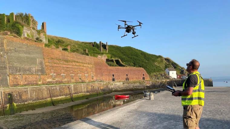
Mapping large or inaccessible areas can be time consuming and costly. At Bury Associates, our expertise as CAA approved drone operators can revolutionise this process. Our drone surveys serve as a swift and precise solution for gathering all the crucial information needed for your project.
Drone Land Survey
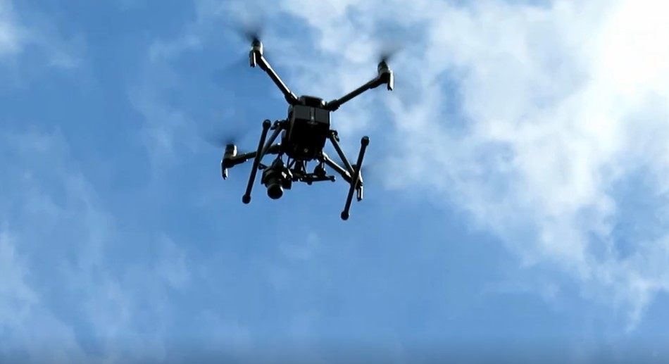
Our drone team will provide safe, quick and easy inspections so you have perfect images, videos and 3D photogrammetry models. Our commercial grade drone is equipped with high resolution cameras that capture your site quickly and accurately. Fast delivery of 3D contour models and imagery will get your project up and running within days
Accurately controlled on the ground by survey-grade GPS/GNSS and supplemented by terrestrial surveys and laser scanning, our drone land surveys guarantee accuracy and full cover.
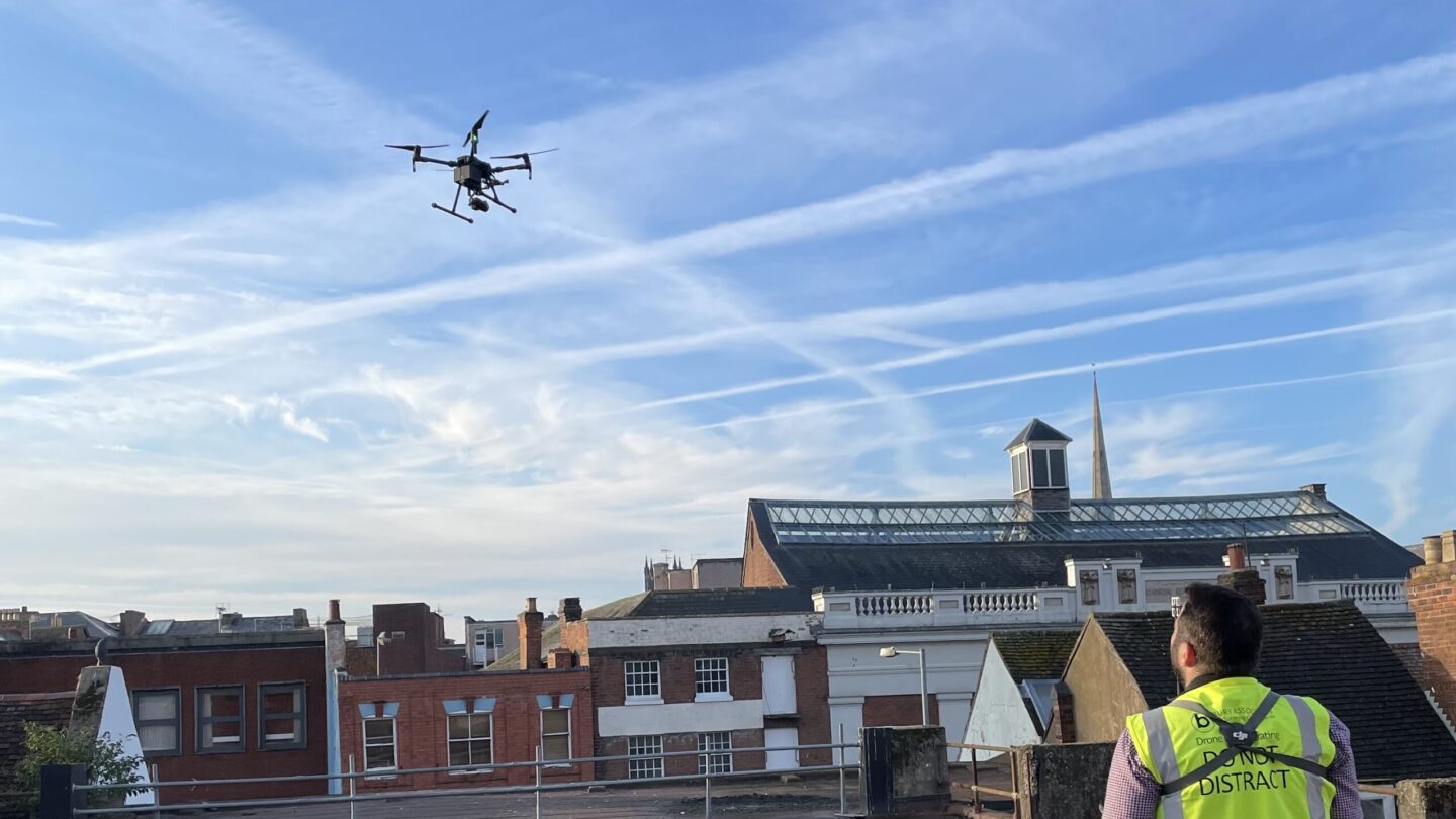
Drone Roof Inspections & Surveys
Roofs, often the most pivotal yet inaccessible aspects of buildings, require extensive attention when undertaking repairs, replacements, or expansions. Our solution lies in delivering meticulously crafted CAD survey drawings that are enriched with aerial ortho-images and Reality Mesh ContextCapture models. These resources, designed to meticulous survey coordinates, inspire confidence in your work area comprehension. If preferred, drone roof inspections & surveys can be delivered as Point Cloud or a 3D Revit Model, reflecting utmost accuracy.
Drone Survey for Buildings
The crux of many building surveys lies in the challenge of inspecting inaccessible areas from ground level. Traditionally, scaffolding or cherry-pickers were the only alternatives. Yet, with our skilled and CAA licensed drone pilot and surveyor taking charge, these limitations fade into insignificance. Their expertise seamlessly conquers challenges, offering you unrestricted access to information that was once out of reach.
FAQs
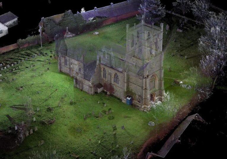
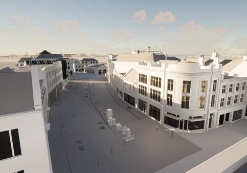
Measured Building Survey in Revit
Bury Associates measured building surveys delivered in Revit will help you to avoid costly mistakes by giving you an accurate understanding of your building in 3D
Drone Surveys Case Study
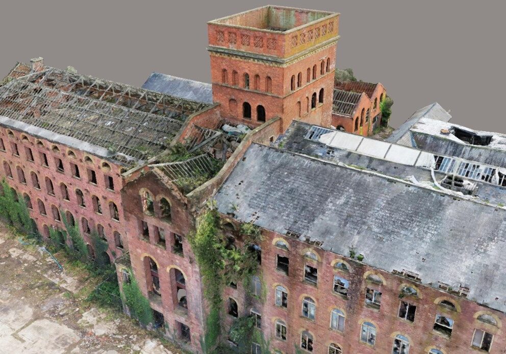
Project: Tonedale Mill, Wellington
Surveying Services
Aerial inspection and surveys precisely controlled for highly accurate results.
