Laser Scanning – Precision in Measured Surveys
Recently, we have had a few queries from clients asking whether our measured building surveys can go into precise detail, such as displaying significant changes to the thickness of a wall in different places. The answer is yes, we can, and the reason why is laser scanning.
To provide an example, I am referring to our recent measured survey of a historic building. Our client explained that they had already received a survey before enlisting our services, but that it had failed to correctly show the uneven surfaces of the internal walls. With our extensive experience in laser scanning for heritage surveys, we are able to show all changes in the verticality and horizontal alignment of any wall or feature.
Our surveyors, armed with the latest in survey equipment and technology, were able to apply their knowledge and years of experience to capture a detailed measured building survey of the structure, delivering the drawings in CAD and PDF format.
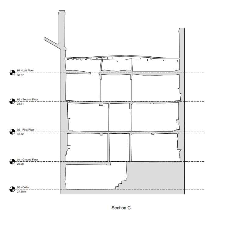
CAD Drawings of Wobbly Walls
As shown in this CAD drawing of the building's internal elevations, we were able to depict the precise difference between areas of the wall's surface. This gives our client the ability to bear the building's unique structure in mind while formulating interior design plans.
Why is Laser Scanning so Effective?
The reason why laser scanning is so fitting for the purpose of precise surveys is due to the electromagnetic radiation technology used to collect data. Not only does this method remove the potential for human error, but laser technology is a much more accurate way of taking measurements than using manual equipment like a tape measure.
How Can Lasers Measure Buildings?
Laser technology uses the emission of infrared light to record distances between objects. The scanners used in surveying measure the time it takes for a wave to reach and return from the element being recorded using the value of arc-seconds. The systematic emission of these laser beams builds data about the object being scanned with remarkable speed. Therefore, not only is this process more accurate than traditional methods, but it is cheaper and more convenient for the client. In this way, the integration of laser technology within surveying has revolutionised the industry.
What Survey Equipment Uses Laser Technology?
There are a number of types of survey equipment that integrate laser technology. One of the most recent innovations is drones, or UAV (unmanned aerial vehicles). Drones are an incredible resource for surveyors due to their ability to record information about inaccessible areas, like roofs. They integrate Light Detection and Ranging technology (LiDAR) with photogrammetry capabilities in order to capture a comprehensive set of data about a structure, including its colour, shape, and texture.
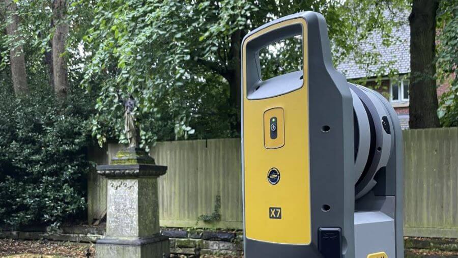
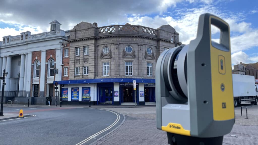
Laser technology is also available in terrestrial equipment like high-precision scanners.
For more information about this topic, please see our post on survey equipment and technology.
The Creation of Point Clouds
An integral aspect of laser scanning is the downloading of the captured data to a point cloud. This is where all the information about the surveyed structure is collected. Technicians then use the raw data to create a 3D BIM model. Requiring a high degree of skill, this process enables stakeholders working on construction projects to see a virtual replica of the structure. As Bury Associates can deliver 3D models in any type of Building Information Modelling software (BIM), architects, engineers, and conservationists are able to overlay their own designs atop the true dimensions of the building. This ensures that their plans will work with the structure, enabling a smooth, cost-effective construction process with no nasty surprises along the way.
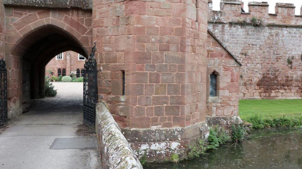
Laser Scanning Historical Buildings
Laser scanning is a brilliant way to survey heritage sites due to - you guessed it - their precision. However, fragile historical buildings also benefit from the use of laser scanning due to its delicate approach.
The historical buildings we survey are often large structures with ornate features, of which manual measuring can be difficult. Laser scanning emits beams of light across the surface of all elements of the structure, building a perfect image of how it stands. Heritage conservation projects would thus be much deprived if they no longer had access to the capabilities of laser scanning.
Laser Scanning Hard-To-Access Areas
Laser scanning is a great method for surveying hard-to-reach areas due to its ability to be deployed in drones and its enduring accuracy in locations where human access would be a challenge. Not only does this keep surveyors safe, but it makes the process of data collection faster and easier.
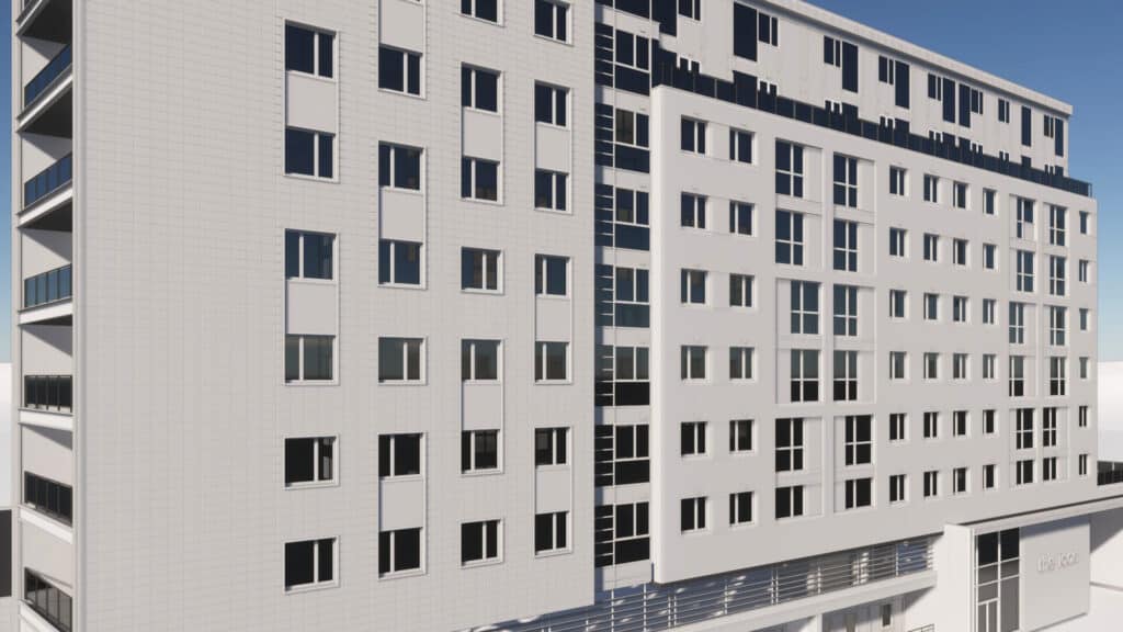
Recently, Bury Associates surveyed the elevations of a tower block. Without the ability to use laser scanning and photogrammetry, surveyors would have a hard time obtaining precise measurements of the structure.
Conclusion
It is my hope that this article leaves you with a clear idea of the benefits of laser scanning. With this revolutionary technology at our disposal, surveyors are able to conduct safer, more accurate, and faster surveys.
If you enjoyed this article, please consider sharing it on social media, and don't forget to check out our other posts at Bury Associates Blog.
We can conduct your Laser Survey


Steve Bury is the Managing Director of Bury Associates, a land and measured building survey company based in the UK. With over 40 years of experience in surveying, Steve Bury established Bury Associates in 1997 to combine the provision of high quality digital surveys with exceptional customer service. Steve has also designed software applications for measuring buildings to automatically create survey drawings.