Our Blog
How to Add Heights to Hundreds of Trees At Once In n4ce Using Point Clouds
To level up your topographical surveys, we’re showing you how to add heights to hundreds of trees at once using laser point clouds in n4ce.
Read More
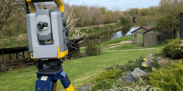
How Do We Survey Botanical Gardens?
Expounding the transformation project planned for Birmingham Botanical Gardens, and what role have we played in ensuring its success.
Read More
Barn Conversions: How To Upgrade Your Measured Survey
I explain why you need more than a simple measured survey when carrying out barn conversions in sensitive locations.
Read More
The Ultimate Guide to Verticality Surveys
Learn all about Verticality Surveys provided by Bury Associates and find out how they can benefit your project.
Read More
Topographical Survey for a Landslip
Find out what technology and equipment we use to survey landslips, enabling engineers to design methods of stabilisation.
Read More
Laser Scanning – Precision in Measured Surveys
With reference to a case study, discover how laser scanning facilitates precise results in measured building surveys.
Read More
Using Point Cloud to Survey a Lost Train
How we used laser scanning to help a train conservation trust build a new model of the lost 8205 steam locomotive.
Read More
Heritage Surveys: Monitoring the Impacts of Climate Change
In this article, I explain why the increasingly complex approach to heritage conservation makes measured building surveys vital.
Read More
Why Combine a Topographical and Underground Utilities Survey
I explain why a topographical survey should be combined with an underground utilities trace for the most comprehensive portrait of your site.
Read More