Our Blog
How much does a Measured Building Survey cost in the UK in 2024?
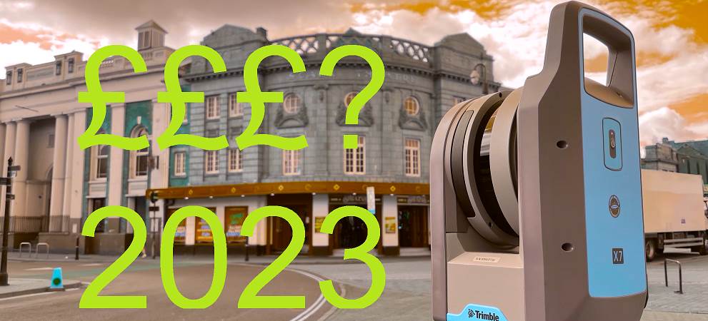
Clear Pricing for Measured Building Surveys At Bury Associates, we’re committed to ensuring clarity, especially when it pertains to the pricing of our measured building survey services. To begin mapping out your project, you need to comprehend the factors that influence the pricing of a measured building survey. The cost of our services is calculated…
Read MoreHow Much Does a Topographical Survey Cost?
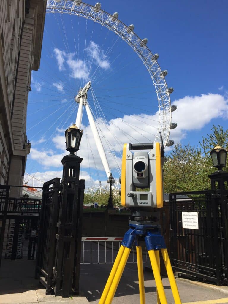
Understanding Topographical Survey Costs in 2024 Welcome to our latest blog post, where we dive deep into topographic survey costs. At Bury Associates, we are often asked about the costs involved in conducting a topographical survey . In this post, we’ll explore the factors that influence these land survey costs and provide some insight into…
Read MoreExploring AutoCAD DWG & DXF file formats
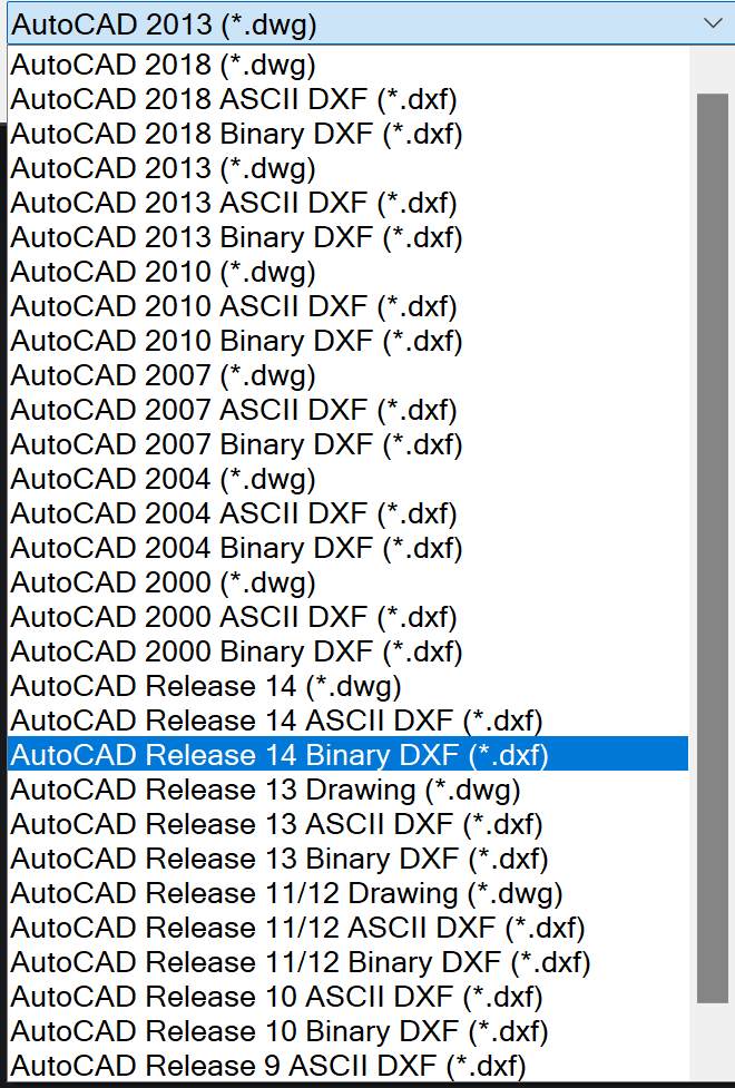
Demystifying Autodesk’s DWG and DXF File Formats: Understanding the Differences Introduction When it comes to computer-aided design (CAD) software, Autodesk’s DWG and DXF file formats are widely used and often mentioned. However, understanding the differences between these two formats can be confusing. In this blog post, we will shed light on the dissimilarities, helping you…
Read MoreTransforming Laser Scanned Point Clouds into 3D Models with Revit
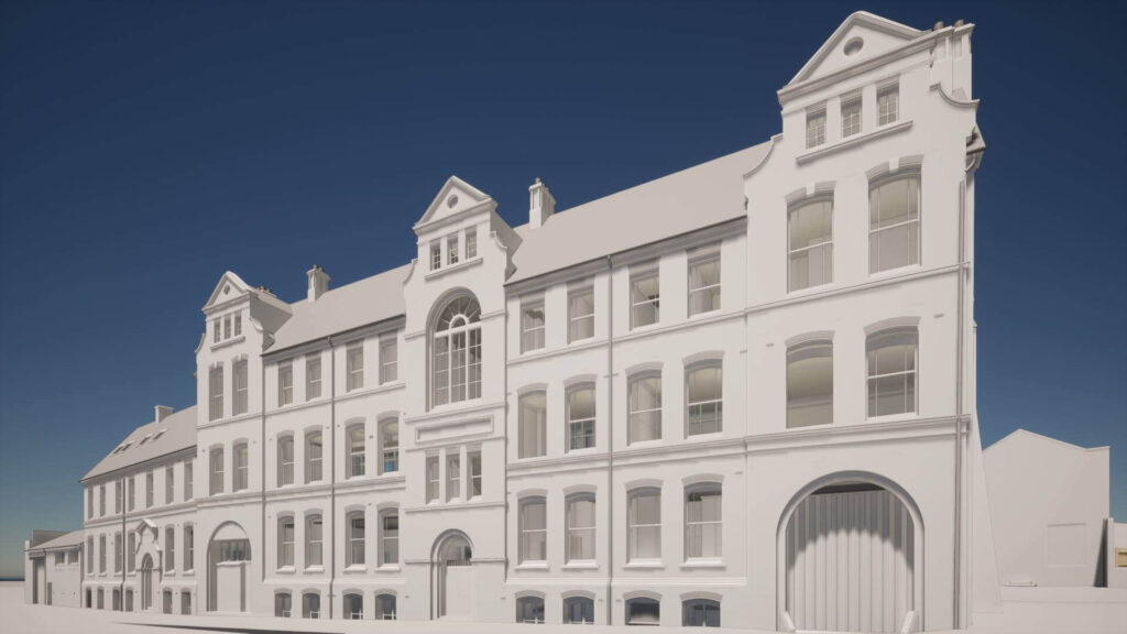
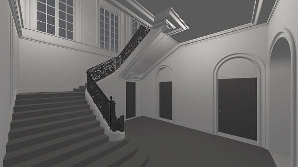
3D Revit model created by Bury Associates from laser scanned point cloud From Laser Scanned Point Clouds to 3D Models with Revit In the world of construction, architecture, and surveying, Autodesk’s Revit is a game-changer. Renowned for its Building Information Modeling (BIM) capabilities, Revit is a software application that architects, structural engineers, and professionals in…
Read MoreMatterport Tour Advantages
The advantages for architects & building conservationists of using Matterport tours created with the new Matterport Pro 3 camera. Matterport Pro 3 3D camera is revolutionizing the way architects and building conservationists approach their work. With this camera, Matterport tours of existing buildings can be created, which offer several advantages over traditional documentation methods. The…
Read More7 advantages of having a drone survey for your next project
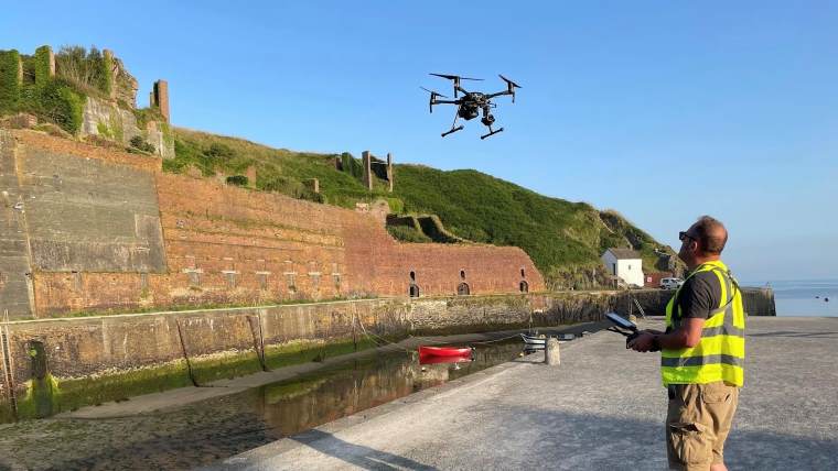
What are the advantages of having a Drone Surveys? We’re often asked about the advantages of using our drones on new construction or inspection projects, so here are 7 great advantages that will help you The Advantages of a Drone Survey You get a 3D model of your site that shows every detail, and you…
Read MoreThe Oriental Club – Heritage scan to BIM project
Scan to Bim – Case Study for Historic England Heritage Survey of The Oriental Club Bury Associates were recently asked by Historic England to contribute a Scan to BIM case study for their new BIM for Heritage guide. We’ve reproduced our case study for this month’s blog; it describes how we laser scanned and modelled…
Read MoreLaser scanning the Cyfarthfa Castle Ice House
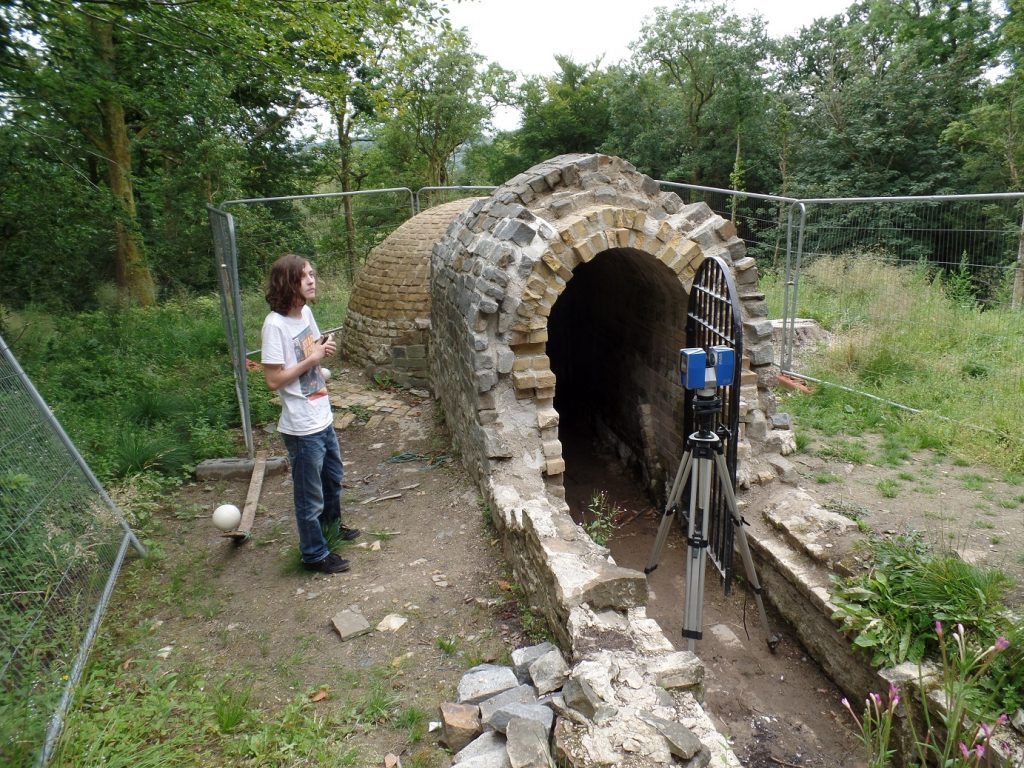
Laser Scan Survey of Cyfarthfa Castle Laser Scanning the Ice House at Cyfarthfa Castle: Ensuring Structural Safety In June 2016, we were commissioned to perform a crucial laser scanning project at the ice house located at Cyfarthfa Castle near Merthyr Tydfil. Our survey team was tasked by Merthyr Tydfil County Borough Council to help their…
Read More- « Previous
- 1
- 2
- 3
- 4
- Next »

