Our Blog

Measured Building Surveys: 2D vs 3D
In this article, I discuss how 2D and 3D measured building surveys differ. By the end, you should have an understanding of their applications.

Re-cladding Tower Blocks: Why Elevation Surveys Are Essential
As tower blocks across the country prepare to shed their outdated cladding, I reflect on the importance of elevation surveys to this important effort.

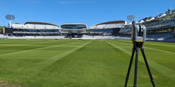
Topographical Survey Equipment
This blog post explores how our surveyors use different methods, equipment, and technology to capture data for topographical surveys.
What is a Topographical Survey? A Complete Guide
In this blog post, we explore the specifics of topographical surveys, journeying from purpose, to price, to product.
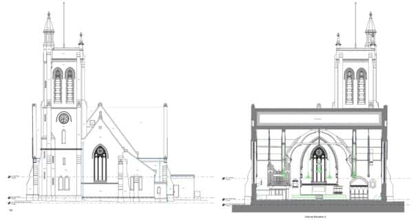
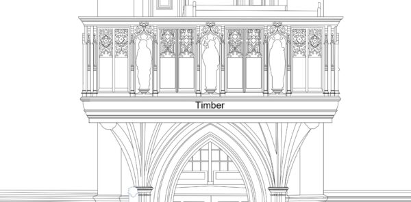
A Quick Guide To CAD Measured Building Survey Drawings
If you need a CAD Measured Survey this guide is essential reading to help understand which drawings you need & what will be shown on them.
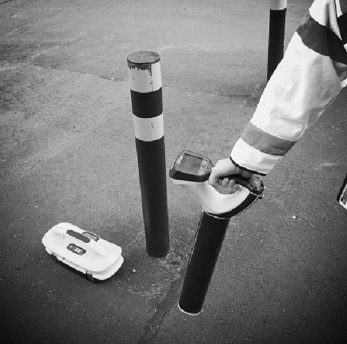
Combining Ground Penetrating Radar and Radio Detection for Comprehensive Underground Utility Surveys
An Underground Utilities Survey is essential for a construction project. We explain why you need GPR and Radio Detection for a full picture.
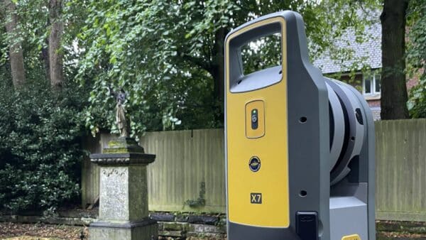
The Complete Guide to Topographic Surveys
Introduction Navigating the intricacies of land development or property management? A topographic survey is a vital starting point. At Bury Associates, we employ cutting-edge technologies, including Trimble Total Stations, Trimble X7 Laser Scanners, and Trimble R12i GNSS units, to offer you the most accurate and reliable topographic surveys. What Are Topographic Surveys? Also known as…
Everything You Need To Know About CAD Measured Surveys
CAD is essential for Topographical Surveys and Measured Building Surveys. Find out why accurate drawings are essential for your project.
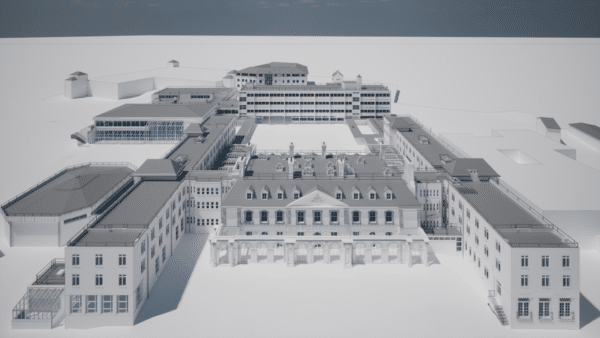
Revit and BIM – what are they? A simple Explanation
In this blog post we explain in simple terms what Revit and BIM are, and how we use Revit to create our 3D Measured Building Surveys.